
ファイル:USA Hawaii island chain location map.svg

元のファイル (SVG ファイル、1,476 × 837 ピクセル、ファイルサイズ: 33キロバイト)
ウィキメディア・コモンズのファイルページにある説明を、以下に表示します。
|
概要
| 解説 |
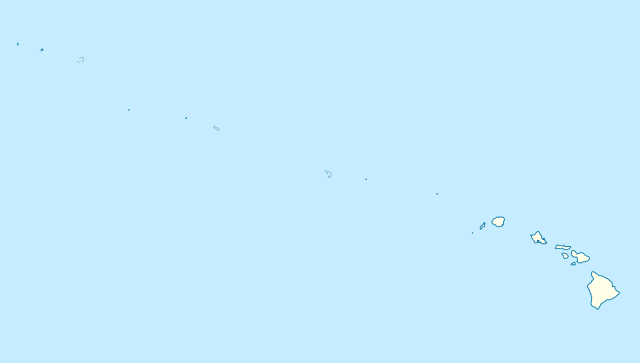
Quadratische Plattkarte, N-S-Streckung 109 %. Geographische Begrenzung der Karte:
Equirectangular projection, N/S stretching 109 %. Geographic limits of the map:
|
|
| 日付 | ||
| 原典 |
投稿者自身による著作物, using
|
|
| 作者 | NordNordWest | |
| 許可 (ファイルの再利用) |
このファイルはクリエイティブ・コモンズ 表示-継承 3.0 ドイツライセンスのもとに利用を許諾されています。
 このファイルはクリエイティブ・コモンズ 表示-継承 3.0 ドイツライセンスのもとに利用を許諾されています。
|


|
この地図は、ドイツ語版の(地図研究室)で制作、もしくは改善されたものです。更なる改善の為、地図を提案することもできます。
|
ファイルの履歴
過去の版のファイルを表示するには、その版の日時をクリックしてください。
| 日付と時刻 | サムネイル | 寸法 | 利用者 | コメント | |
|---|---|---|---|---|---|
| 現在の版 | 2012年10月14日 (日) 17:24 | | 1,476 × 837 (33キロバイト) | NordNordWest | Reverted to version as of 18:31, 13 November 2009; grey lines are reefs, not islands |
| 2012年10月14日 (日) 00:10 |  | 1,476 × 837 (33キロバイト) | Grolltech | more consistent line weights and colors | |
| 2009年11月13日 (金) 18:31 |  | 1,476 × 837 (33キロバイト) | NordNordWest | {{int:filedesc}} {{Information |Description= {{de|Positionskarte der gesamten Inselkette Hawaii, USA}} Quadratische Plattkarte, N-S-Streckung 109 %. Geographische Begrenzung der Karte: * N: 30° N * S: 17° N * W: 179° W * O: 1 |
ファイルの使用状況
以下の 4 ページがこのファイルを使用しています:
グローバルなファイル使用状況
以下に挙げる他のウィキがこの画像を使っています:
- ar.wikipedia.org での使用状況
- az.wikipedia.org での使用状況
- be.wikipedia.org での使用状況
- bn.wikipedia.org での使用状況
- ceb.wikipedia.org での使用状況
- Plantilya:Location map USA Hawaiian Islands
- Kahoma Ditch
- Kahua Ditch
- Kahului Airport
- Kailua Ditch
- Kalaupapa Airport
- Kaluanui Ditch
- Kama Ditch
- Kamananui Ditch
- Kamenehune Ditch
- Kamooloa Ditch
- Kanaha Ditch
- Kaneha Ditch
- Kapahi Ditch
- Kapālama Drainage Canal
- Kapalua Airport
- Kaua‘ula Ditch
- Kauhikoa Ditch (kanal sa Tinipong Bansa, lat 20,84, long -156,37)
- Kauhikoa Ditch (kanal sa Tinipong Bansa, lat 20,86, long -156,36)
- Ka‘ula
- Kawainui Canal
- Kawano Ditch
- Kawela Intake
- Keālia Ditch
- Kehena Ditch
- Kekaha Airstrip
- Kekaha Ditch
- Kelana Ditch
- Kemoo Ditch Tunnel
- Kipapa (kanal sa Tinipong Bansa)
- Kittery Island (pulo sa Tinipong Bansa, Hawaii)
- Kohala Ditch
- Kōke‘e Ditch
- Kōloa Ditch
このファイルのグローバル使用状況を表示する。